Public Rights Of Way
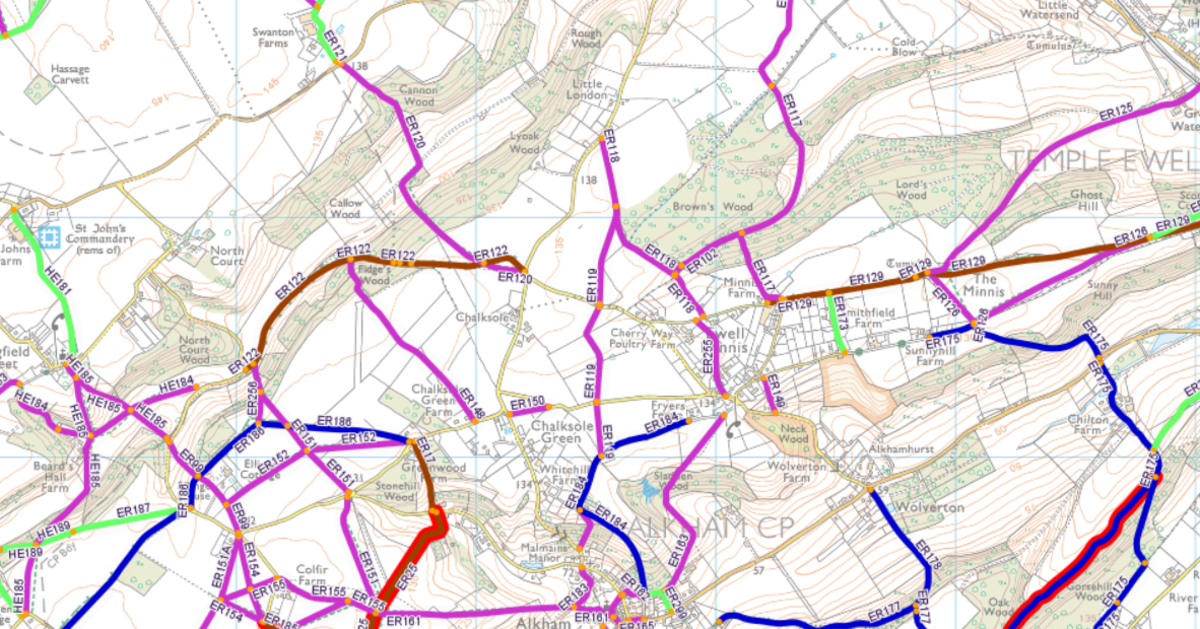
Public Rights of Way Interactive Map
The map shows all of the public rights of way in the county.
To report a problem, firstly log in, then select the 'Report a Fault' menu item.
https://webapps.kent.gov.uk/countrysideaccesscams/standardmap.aspx
To find a location use the Search options to locate paths, settlements or parishes. If your device has a GPS you can centre the map on your current position by pressing the 'Current Location' button.
To zoom into a specific area when using a mouse: hold the shift key and drag a box to zoom in. When using a touch device: pinch or drag a box to zoom in.

Rights of way and accessing land
An Overview
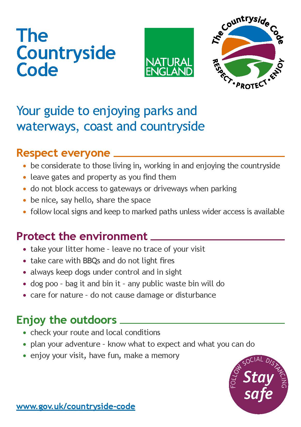
You have the right to access some land for walking or certain other leisure activities.
You can:
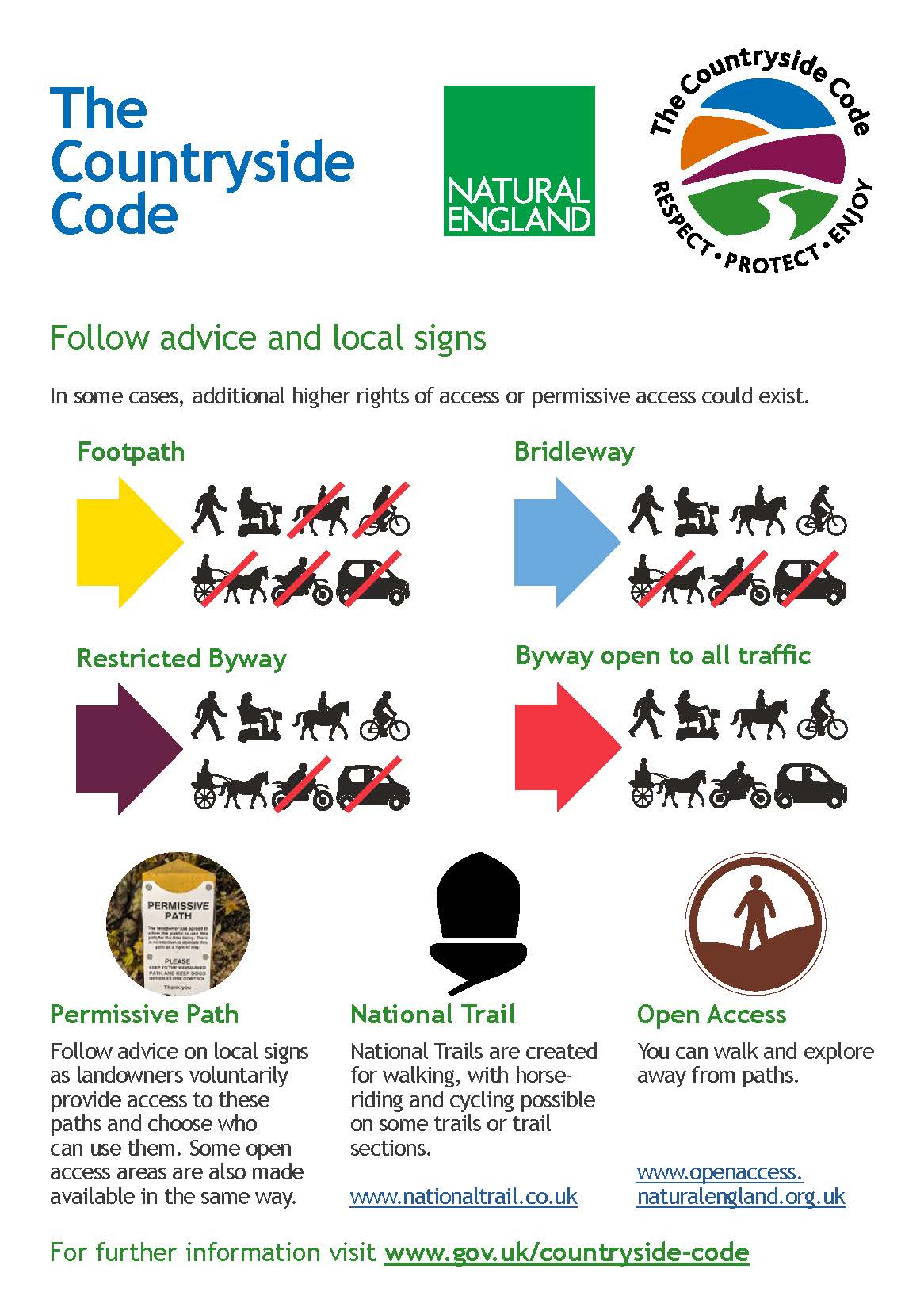
- use public roads and pavements or public rights of way, for example footpaths or bridleways
- use your right to roam on open access land including mountains, moors, heaths, downs, common land and some land around the England Coast Path
If neither of these apply, you may still be able to access private land if:
- the land was used as a public right of way in the past - check old maps and documents
- the land was accessed by the public for at least 20 years and nobody has asked them to stop
- the landowner has given permission (‘permissive access’)
For more information please follow this link https://www.gov.uk/right-of-way-open-access-land


Lost Footpaths
Many thanks to Glyn Jones for the information from Don't Lose Your Way.
This organisation is assisting local people to identify historical walking routes that are not on the definitive Kent footpath map for the Parish. If these are not identified they will be lost forever.
Please help identify and save our local footpaths. The information and interactive maps below will help.
The map of lost paths
As you know, we released the map of lost paths back in December. This was created thanks to the hard work of thousands of you in identifying and mapping potential lost paths. If you’ve not yet explored the map, or just want another look, you can view it at the link below.
Explore the map of lost paths >
This map is just a starting point. At the moment we can’t add to or amend it, but we’re working to make that possible in the future. If you have questions please read our FAQs.
What is happening now?
Having identified over 49,000 miles of potentially lost paths, we now need to prioritise the ones that we want to save and build the applications that will save them. To do this we are working with volunteers, and other projects, to develop tools in the Don’t Lose Your Way platform that allow you to do this.
To support you all when these tools are released, we are working together with people who have spent years saving lost paths to develop training and resources to guide you in this process.
You can read more about this work on our website.
Don’t Lose Your Way on the One Show
You may have seen that our work to reclaim lost paths was highlighted by Bill Bailey on the One Show recently! If you missed it, you can watch back (from about 14 minutes in) here. It was also fantastic to see the fight to protect and save paths highlighted in this recent article in the Guardian.
Getting in touch
We’ve sent this email to thousands of Don’t Lose Your Way supporters, and we are receiving hundreds of queries about the project every week. If you have a question, please do check the links below first as we’ve developed some extensive FAQs. If your answer isn’t there, then send us an email at [email protected]. Please note, due to the number of queries, it may take a little while for us to respond.
Further material
These are a few links that may help answer any questions you have about the project.
- The map of potential lost ways
- FAQs about the project
- FAQs about what shows up on the map
- The next stages for the project
- Further information on volunteering through the project
Thanks for reading – we're looking forward to working together to get some of these unrecorded rights of way on the map!
Kind regards,
Jack and Dom,
Don’t Lose Your Way project team